Minnesota
Minerals Coordinating Committee

Additional Information on Minerals and Mining in Minnesota
Projects and Research
- DNR (Minnesota Dept. of Natural Resources) Minnesota Minerals Archive: Public access to 100 years of Minnesota non-ferrous mineral information, including maps, reports, drilling logs, etc., searchable by spatial location or attributes.
- DNR Mineral Potential Section Project List: Listed on this webpage is a table of published and open-file Mineral Potential Evaluation Section projects since 1976. Many of these projects are available digitally for download. Projects relate to generally one of the following; geochemistry (soil, till, lake, etc.), drill core evaluation (chemistry and logging), mineral evaluations, construction aggregate mapping, metallic mineral potential, or industrial mineral potential.
- DNR Mineral Data Releases: Reports and data related to Minnesota's mineral resources are made available to the public by the Lands and Minerals Division following their completion. This page includes information from the Division's "Open-File Bulletin", and may contain information on other data releases as well.
- MGS (Minnesota Geological Survey) Geochemistry Reports: MN soil, till, and ground water geochemical data (MGS open file). Till geochemical and indicator mineral reconnaissance of Minnesota (MGS open file)
- NRRI (Natural Resources Research Institute) Mineral Publication List: List of NRRI mineral reports categorized by program area. NRRI's Economic Geology Group is the primary source of research on Minnesota's mineral deposits and offers a broad scope of assistance. Reports can be downloaded in PDF format. Many of the reports include GIS data, Maps, or other digital files available download.
- USGS (United States Geological Survey) Mineral Resource Data: Interactive maps and downloadable data for regional and global geology, geochemistry, geophysics, and mineral resources, includes spatial data for Minnesota
- USGS (United States Geological Survey) Minerals Yearbooks for Minnesota: Minerals Yearbook for Minnesota (1994-2007).
Geologic Mapping
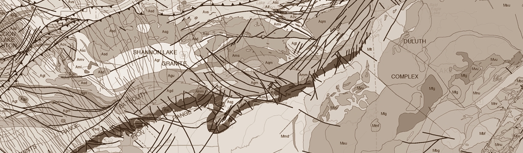
- MGS Publication Search Tool, Digital Conservancy: Since 1872, the Minnesota Geological Survey has published over 600 maps, and over 40,000 pages of reports. All MGS publications have been scanned and made freely available online as searchable PDF documents. Most items published since 1994 also include GIS data in ESRI formats. To access MGS electronic publications and data, please use the links below. If available, GIS data will be included with the listed PDF files, in compressed Zip format and labeled as Extra or Supplementary Files.
- MGS Geophysical Maps and Data: Statewide aeromagnetic, gravity, and rock properties maps and data.
- MGS County Geologic Atlas Mapping: Provides maps and descriptions that illustrate water well and other data used to map the bedrock geology; surficial geology; Quaternary stratigraphy; bedrock topography, depth-to-bedrock, (thickness of Quaternary materials); Quaternary subsurface geology; mineral resources within each county. Map scale is usually 1:100,000 although some maps on a plate could be at another scale
- MGS Digital Library of Historic Maps: 592 scanned map images of historic geologic maps (not georeferenced).
- MGS General Map Graphics of Minnesota's Geologic Features: MN geologic reference maps as images (.jpg).
- DNR Construction Aggregate Resource Maps: Sand and Gravel and Crushed Stone resource potential maps for selected counties throughout Minnesota. Map scale is usually 1:50,000 for sand and gravel resources and 1:100,000 for crushed stone resources, although some maps on a plate could be at other scales.
Policies and Rules for Mining, Mineral Exploration, and Reclamation
- Minnnesota Rules on Metallic Mineral Resources: List of rules regarding permits and leases for metallic minerals, not including Iron Ores and Taconite Ores.
- Minnesota Mining Law Fact Sheet: Minnesota's mining laws are found in Minnesota's Constitution, statutes, and administrative rules. This factsheet is a guide to the major laws that directly address mineral issues (1998).
- Mineral Rights Ownership Fact Sheet: Link to a PDF of a fact sheet regarding mineral rights ownership in Minnesota.
- State of Minnesota Nonferrous Metallic Minerals Reclamation Rules: 6132.0300
- State of Minnesota Nonferrous Metallic Minerals Reclamation Definitions: 6132.0100
- Exploration Plans: Before exploration activity can occur on state nonferrous metallic minerals leases, the explorer which is a state mineral lessee must submit an exploration plan to the DNR, which the DNR reviews and replies to. The DNR reply contains conditions and stipulations regarding historic/archaeological sites, natural heritage features (rare plants, animals, and other rare features), designated trout streams, and other special features.
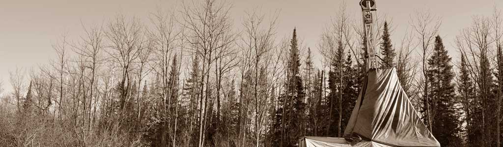
- Exploration Drilling Regulations: The Minnesota Department of Health (MDH) and DNR are both involved in regulations to protect the environment during mineral exploration. For example there are many rules in Minnesota Rules, Chapter 4727, Explorers and Exploratory Borings, that protect groundwater during exploratory boring.
State Nonferrous Metallic Minerals Leasing
- DNR Metallic Minerals Lease Sale: Information about the State Metallic Minerals Lease Sale.
- DNR Nonferrous Metallic Minerals State Lease Form from Minnesota Administrative Rules: 6125.0700 FORM OF LEASE
- DNR State Statute on Minerals Data: 13.793 NATURAL RESOURCE DATA; MINERAL DATA
State Nonferrous Metallic Minerals Webpages
- DNR Nonferrous Metallic Minerals: Information from the DNR about state leasing, exploration, development, regulations and reclamation, exploration drilling, and reports.
Mining in Minnesota
- Mining Tax Guide for 2016: The Minnesota Mining Tax Guide is published by the Minnesota Department of Revenue to identify all Minnesota mining-related taxes paid by the mining industry. This book strives to simplify the complicated tax statutes using language that is easy to understand and non-technical narratives, tables, graphs and flowcharts.
- Minnesota Iron Range Resources and Rehabilitation Board (IRRRB): A business and workforce development agency.
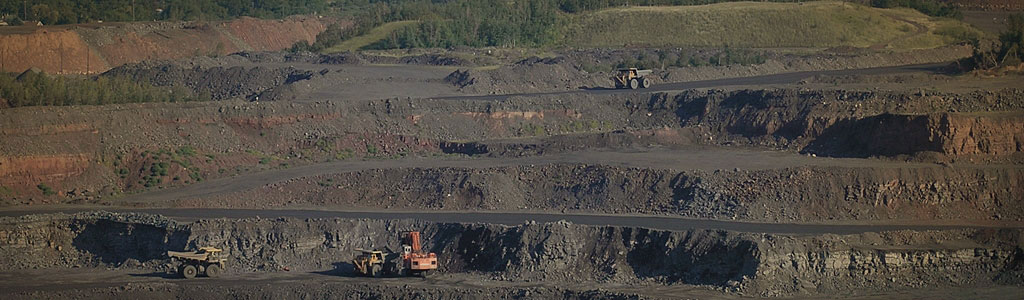
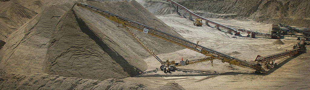
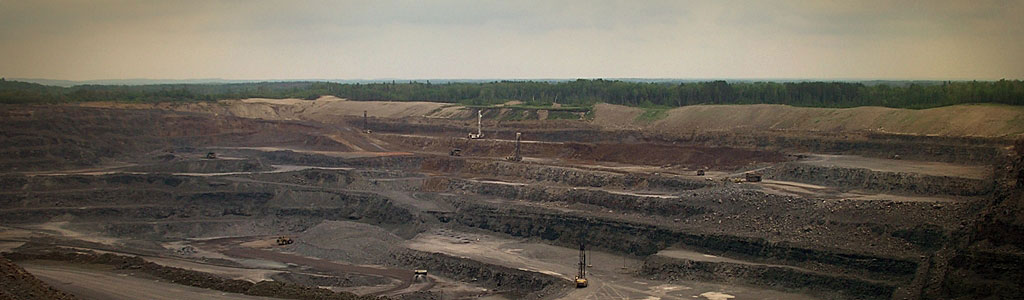
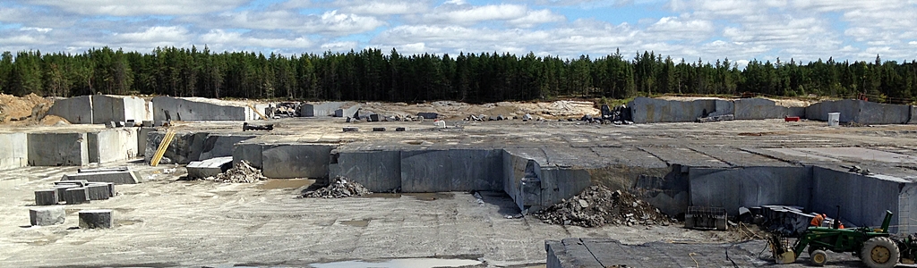
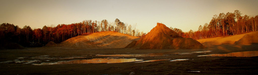
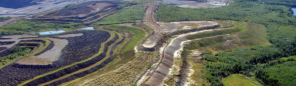
- Mining in Minnesota: General information about Mining in Minnesota from clay to taconite.
- Mining History: General information about the history of mining in Minnesota.
- Taconite: General information about taconite mining in Minnesota.
Exploration Drilling and Well Data
- DNR Drill Core Library: The Minnesota Department of Natural Resources, Lands and Minerals Division, maintains a Drill Core Library in Hibbing, Minnesota. It serves as the State of Minnesota's repository for archiving bedrock and earthen material core samples collected during minerals exploration, engineering, and geoscience research programs across the state. A new web page and interactive web map greatly facilitates public access to the more than three million linear feet of drill core and other geologic materials archived within the DNR Drill Core Library in Hibbing. The webpage outlines the Library's mission and provides details for those interesting in viewing, sampling, and/or submitting drill core materials. An associated interactive web map displays more than 8,500 source locations for the material archived within the Drill Core Library, with links to drilling information. This user-driven map interface allows anyone with internet access to compare locations against overlays of geologic information and state mineral leases. This kind of interactive manipulation of drill hole and geologic data previously required ArcGIS software.
- Annual Metallic Mineral Exploration Drilling:The DNR web site supplies data tables and maps on the location, company, drilling footages and other information pertaining to metallic mineral exploration drilling in Minnesota annually.
- MGS and Dept. of Health (MDH) County Well Index: The County Well Index (CWI) is a computerized data base that contains basic information for over 452,000 water-wells, as well as exploration holes, drilled in Minnesota. The data is derived from water-well contractors' logs of geologic materials encountered during drilling. Confirmed locations and geologic well records are available for over 244,500 of the wells. Available data also includes casing, screen and pump information. CWI is now Web accessible at CWI ONLINE. The data base can be searched and files printed. Files cannot be downloaded. CWI GIS data files are available through the MGS FTP site.